
Horizon GeoData
Providing ground-based SLAM LiDAR for wildfire fuels documentation, treatment verification, and survey-grade mapping across Idaho and the Intermountain West. Under-canopy data that aerial capture can’t reach.
Core Services
Wildfire Fuels & Vegetation Documentation
Ground-based LiDAR capture of under-canopy fuels, ladder fuel continuity and land structure — quantified before/after treatment. Defensible documentation for grant reporting, treatment verification and funder deliverables
Defensible Space & Zone 0 Assessment
Parcel-scale capture of vegetation, structure clearances and ignition-zone conditions in the wildland-urban interface. Repeatable, spatially explicit records for property owners, HOAs and county programs.
SLAM LiDAR (Interior & GPS-Denied Environments)
Rapid handheld, backpack, or drone-mounted scanning in forests, steep terrain, structures, and GPS-denied environments. Survey-grade point clouds captured in a single site visit — no tripods and no fixed infrastructure.
Topographic Mapping & Surface Modeling
High-resolution terrain models, orthomosaics, and 3D surfaces for engineering design, planning, and site development.
GNSS-Controlled Data Capture
Survey-grade positioning integrated into terrestrial and aerial workflows — enabling accurate change detection between repeat captures.
CAD/GIS Deliverables
Agency-ready datasets in standard formats (LAS/LAZ, DWG, shapefile) guilt to drop directly into existing engineering and GIS workflows.
Agricultural Remote Sensing (Multispectral)
Crop health and field variability analysis using calibrated multispectral imagery
What We Do
Horizon GeoData captures the data that aerial mapping can’t reach.
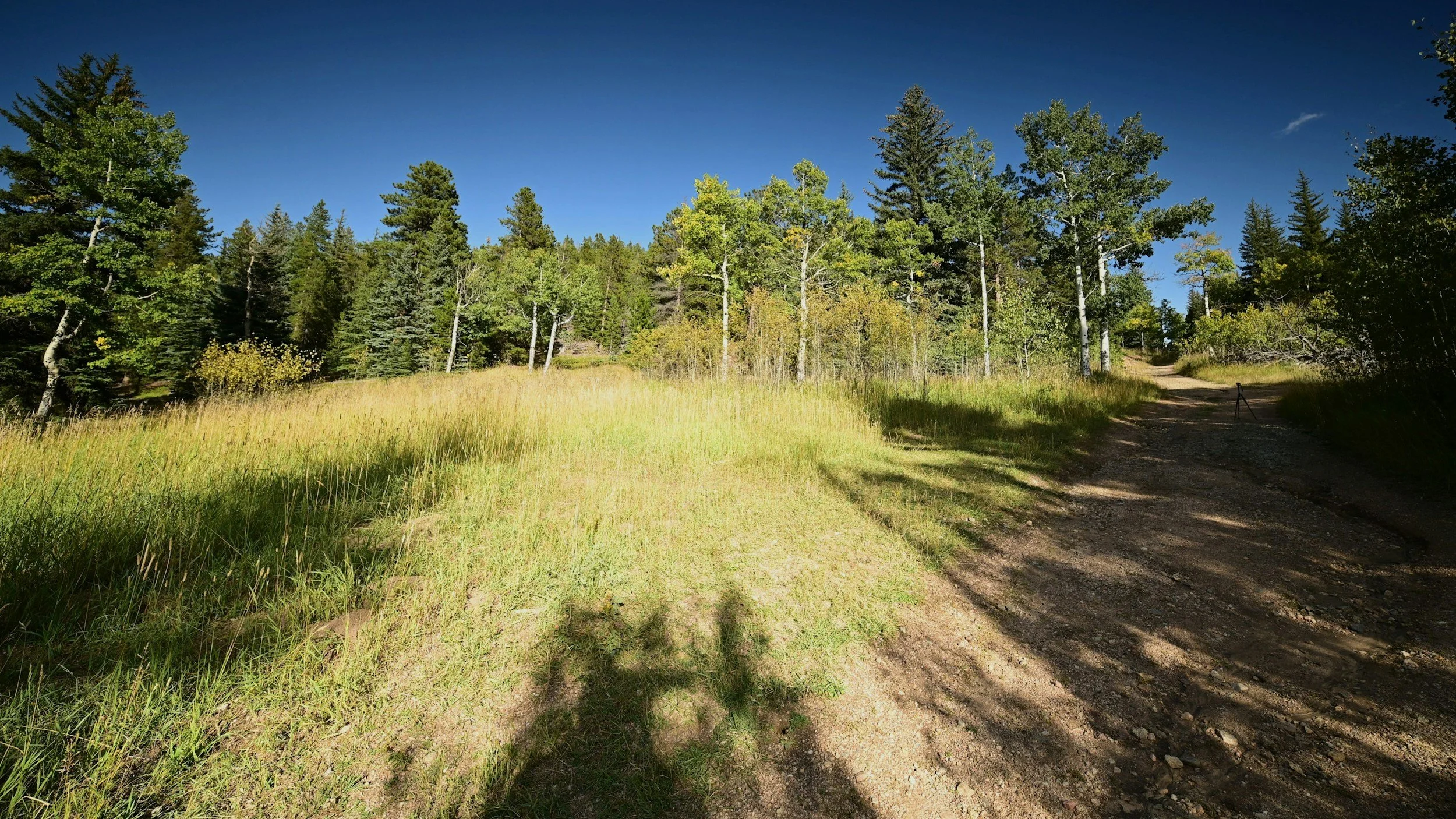
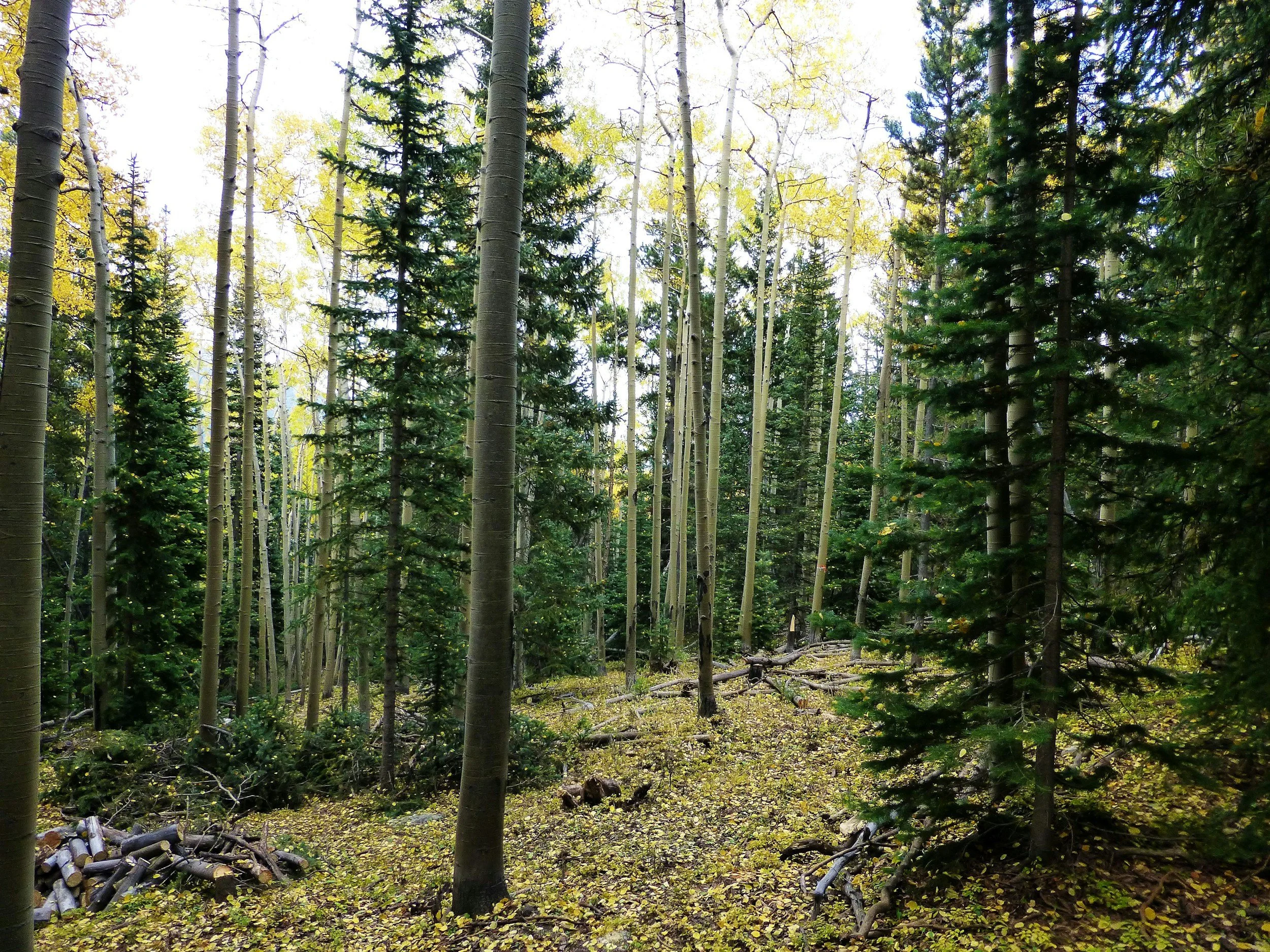
Aerial LiDAR maps the canopy well. But the conditions that drive fire behavior —ladder fuels, understory density, surface fuels, individual stems —live beneath it. We use ground-based SLAM LiDAR to capture forests and properties from the inside, producing survey-grade 3D point clouds that quantify what’s actually on the ground.
For wildfire mitigation programs, that means measurable before/after documentation of treatment effectiveness —the kind of defensible record that strengthens grant applications and funder reporting. For engineering, infrastructure and land development clients, the same workflows deliver high-accuracy terrain models, surfaces and CAD/GIS ready datasets.
Based in Ketchum, Idaho. Serving the Wood River Valley, Idaho, and the Intermountain West.
Contact
Let us know how we can help you.