
Our Core Services
We work with land managers, county programs, engineering firms, municipalities, agricultural operators, and private landowners throughout Idaho and the Intermountain West.
-
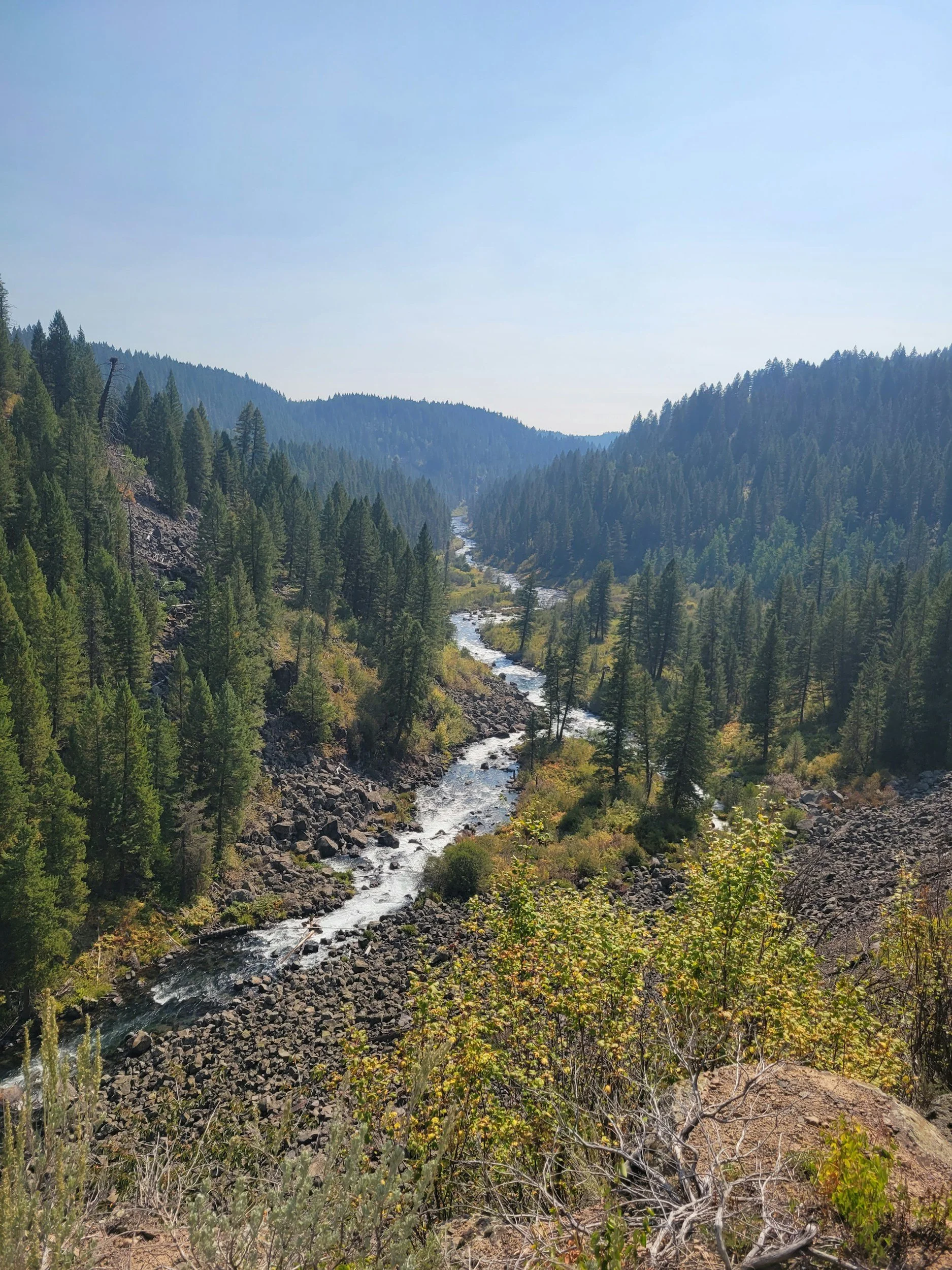
Horizon GeoData provides ground-based SLAM LiDAR capture for wildfire mitigation programs, forest stewardship projects, and defensible space assessment. Under-canopy acquisition resolves the fuel conditions that aerial and drone LiDAR cannot see —ladder fuels, understory density, surface fuels, and individual stems.
Repeat capture of the same unit before and after treatment produces quantified change detection: a defensible record of what a treatment actually removed, suitable for grant reporting and funder deliverables. Datasets are tied to established survey control to ensure accurate co-registration between capture epochs.
Applications
Pre- and post-treatment fuels documentation
Ladder fuel and canopy base height assessment
Defensible space and Zone 0 parcel capture
Treatment effectiveness verification for grant reporting
Replanting and regeneration monitoring
Ground-truth validation of aerial LiDAR and fuels models
Deliverables
Classified 3D point clouds (LAS/LAZ) — ground, vegetation, structure
Fuels and stand structure metrics by treatment unit
Before/After change detection with accuracy reporting
Cross-Sections and vertical profile analysis
Rendered visualizations and fly through for partner communication
GIS-ready datasets formatted for agency workflows
Horizon Geodata delivers measurable documentation that supports treatment planning, outcome verification, and defensible reporting to funding partners.
-
Horizon GeoData provides mobile SLAM LiDAR mapping for high-density 3D data capture in forested, GNSS-constrained or complex surface environments. Mobile workflows allow rapid acquisition of infrastructure corridors, municipal features, and industrial sites with minimal operational disruption.
Datasets can be tied to established survey control when required to ensure alignment with engineering coordinate systems.
Applications
Forested and steep terrain capture
Curb, gutter, and sidewalk ADA documentation
Roadway and corridor modeling
Industrial facility scanning
Bridge and underpass capture
Constrained infrastructure mapping
Deliverables
Registered 3D point clouds (LAS/LAZ)
Extracted breaklines and feature models
Surface models
Cross-sections and profiles
CAD-ready outputs
-
Horizon GeoData provides survey-controlled UAV mapping for engineering, infrastructure, and land management applications. All aerial datasets are tied to GNSS-based ground control to ensure centimeter-level positional accuracy and compatibility with established coordinate systems.
Workflows are structured to produce repeatable, design-ready spatial datasets suitable for measurement, modeling, and analysis.
Applications
Topographic surveys
Site development mapping
Corridor mapping
Construction progress documentation
Earthwork and stockpile analysis
Orthomosaic generation
Deliverables
Survey-controlled orthomosaics
Digital Terrain Models (DTM) and Digital Surface Models (DSM)
Contours and breakline extraction
Volume calculations
CAD-ready (DWG/DXF) files
GIS-ready datasets
-
Horizon GeoData converts raw aerial and LiDAR datasets into structured, engineering-ready deliverables. Production workflows include surface modeling, feature extraction, and integration into existing CAD and GIS environments.
Services
Point cloud processing and classification
Breakline extraction
Surface modeling
Feature mapping
Utility documentation
Change detection analysis
Outputs
DWG production drawings
Topographic maps
GIS geodatabases
Volume and reporting documentation
Structured project archives
-
Horizon GeoData provides survey-controlled UAV mapping, mobile LiDAR acquisition, and CAD/GIS production services for irrigation systems and water infrastructure networks. All datasets are collected and processed using GNSS-based control to ensure positional accuracy and coordinate system compatibility.
Workflows are designed to generate repeatable spatial datasets supporting infrastructure assessment, hydraulic evaluation, and asset management.
Applications
Canal and lateral corridor mapping
Diversion structure documentation
Culvert and crossing inventories
Embankment geometry assessment
Sedimentation and volumetric analysis
Temporal change detection
Deliverables
Survey-controlled orthomosaics
Digital Terrain and Surface Models
Contours and cross-sections
Volume reports
CAD-ready topographic files
GIS-ready geodatabases
-
Horizon GeoData provides safety-focused SLAM LiDAR mapping for underground mines, active headings, stopes, drifts, and confined infrastructure. Workflows are designed to reduce personnel exposure while generating high-density spatial datasets in GNSS-denied environments.
Capture is performed using the Emesent Hovermap ST-X, enabling accurate 3D data capture in complex underground conditions. Datasets can be tied to established survey control for integration with mine coordinate systems.
Applications
Development heading mapping
Stope and drift documentation
Overbreak and underbreak analysis
Deformation monitoring
Ground condition and structural mapping
Volume reconciliation
Deliverables
Cleaned and registered 3D point clouds
Engineering-grade surface models
Volume and reconciliation reports
Cross-sections and deviation analysis
CAD-ready and GIS-integrated datasets
Horizon GeoData delivers structured spatial documentation that supports operational safety, compliance, and defensible recordkeeping.
-
Horizon GeoData provides survey-aligned aerial mapping and multispectral data acquisition to support precision agriculture, irrigation management, and land stewardship initiatives. Agricultural workflows are deployed as project-driven engagements and scaled according to operational demand.
Multispectral data collection is supported through integration of the Sentera 65R and Sentera 6X Thermal Pro, enabling high-resolution vegetation index analysis and field variability assessment. Standard UAV mapping services remain available for terrain modeling, irrigation infrastructure documentation, and drainage evaluation.
Applications
NDVI and vegetation index mapping
Field variability and crop health assessment
Irrigation efficiency analysis
Drainage and grading evaluation
Field boundary documentation
Seasonal and temporal change detection
Deliverables
Survey-controlled orthomosaics
Vegetation index maps (NDVI and related indices)
Digital Terrain Models for water flow assessment
GIS-ready prescription layers
Field-level comparative analysis reports
Agricultural datasets are structured for integration with farm management systems, irrigation planning tools, and GIS-based decision workflows.
“I believe effective geospatial work is defined by three principles: accuracy that can be defended, documentation that can be repeated, and deliverables that reduce uncertainty.”
—Patrick Taylor, Founder